About
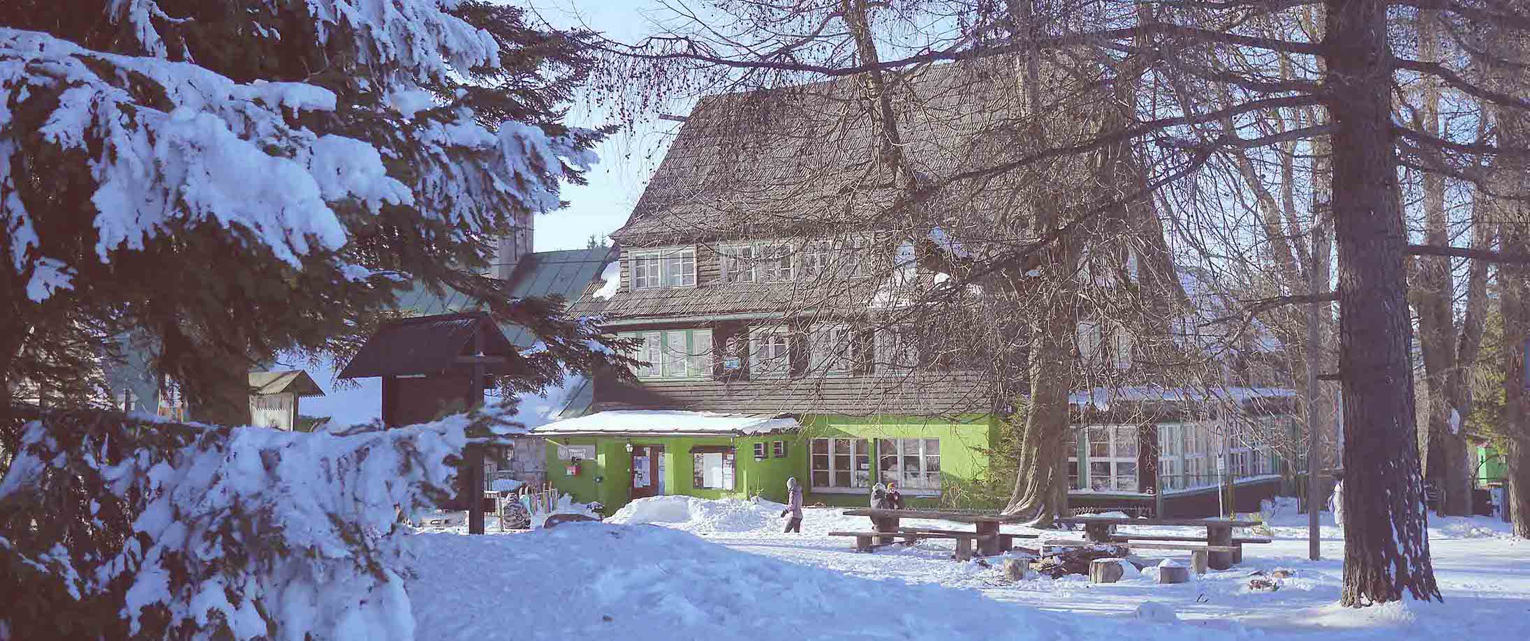
This is an important point for hiking trails. ‘The Sudeten Highway’ running through the pass provides a splendid panorama of the surrounding mountain ranges and valleys located in the area. The ‘Jagodna’ shelter is located in the village near the road and was built in 1895 at a roadside inn. There is a ski lift and slope near the hostel.
Bibliography: Maps of ‘Góry Bystrzyckie Góry Orlickie biegowe trasy narciarskie’; ‘Stowarzyszenie Gmin Ziemi Kłodzkiej’ Publishing Studio Plan, Wroclaw; Marek Staffa ‘Słownik geografii turystycznej Sudetów Kotlina Kłodzka i Rów Górnej Nysy’, Warsaw 1993.


Ski trails
1. Black trails around the Jagodna (977 m asl) peak
– Mała Jagodna, 12km
– Duża Jagodna, 15km
2. Green trail, 5km
3. Red trail,3.5km
4. Mały Bystrzak trail, 2km
5. Ski stadium above the Jagodna Shelter, 800m
6. Spalona blue trail, Mostowice–Orlickie Zahorzi border crossing, 6km
7. Blue trail around the Kłobuk (814 m asl) peak in Lasówka, 12km
8. Ski stadium in Lasówka clearings, 4.5km
Details: www.spalona.com.pl
tel. Schronisko PTTK „Jagodna“ Sapolna 6
57-500 Bystrzyca kłodzka, tel.: 695 777 635